Routing
Pipeline operators listen to stakeholders and survey the geography when deciding where to put a pipeline.
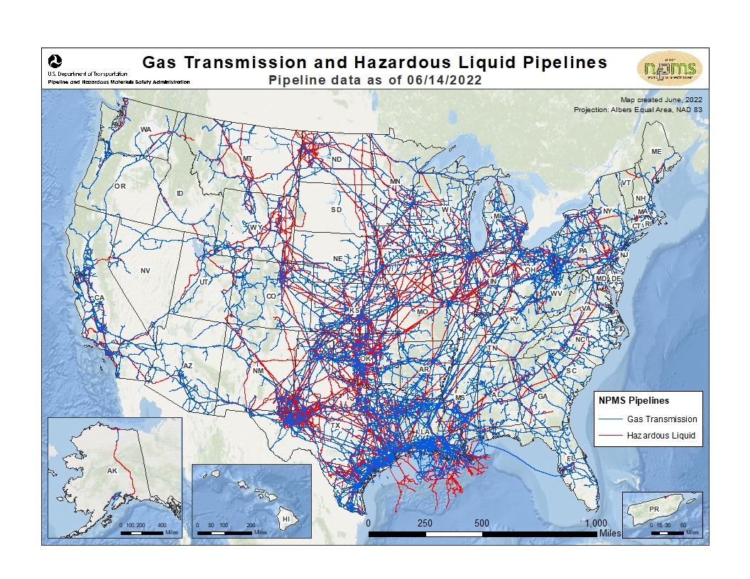
The map below shows major oil and natural gas transmission pipelines in the U.S. Transmission lines are used to transport oil, natural gas, carbon dioxide, and hydrogen from gathering systems to processing, storage, or refining centers.
The United States has the largest network of energy pipelines in the world, with more than 2.8 million miles of pipe. There are approximately 85,000 miles of crude oil lines in the U.S. that connect regional markets.
The National Pipeline Mapping System (NPMS) publishes publicly available pipeline location information county by county. Government and emergency response officials have access to more detailed information. Public stakeholders can also identify operating pipelines in their area by state, county or zip code as well as information about the pipeline operator that is maintained by the Pipelines and Hazardous Materials Safety Administration (PHMSA).

Nearly the entire mainline pipe is buried. Other pipeline components such as pump stations are above ground. Some lines are as short as a mile, while others may extend 1,000 miles or more.
Pipeline operators listen to stakeholders and survey the geography when deciding where to put a pipeline.
There are more than 2.5 million miles of natural gas pipelines in the U.S.
There are over 200,000 miles of crude oil, refined products and natural gas liquids pipeline in the U.S.
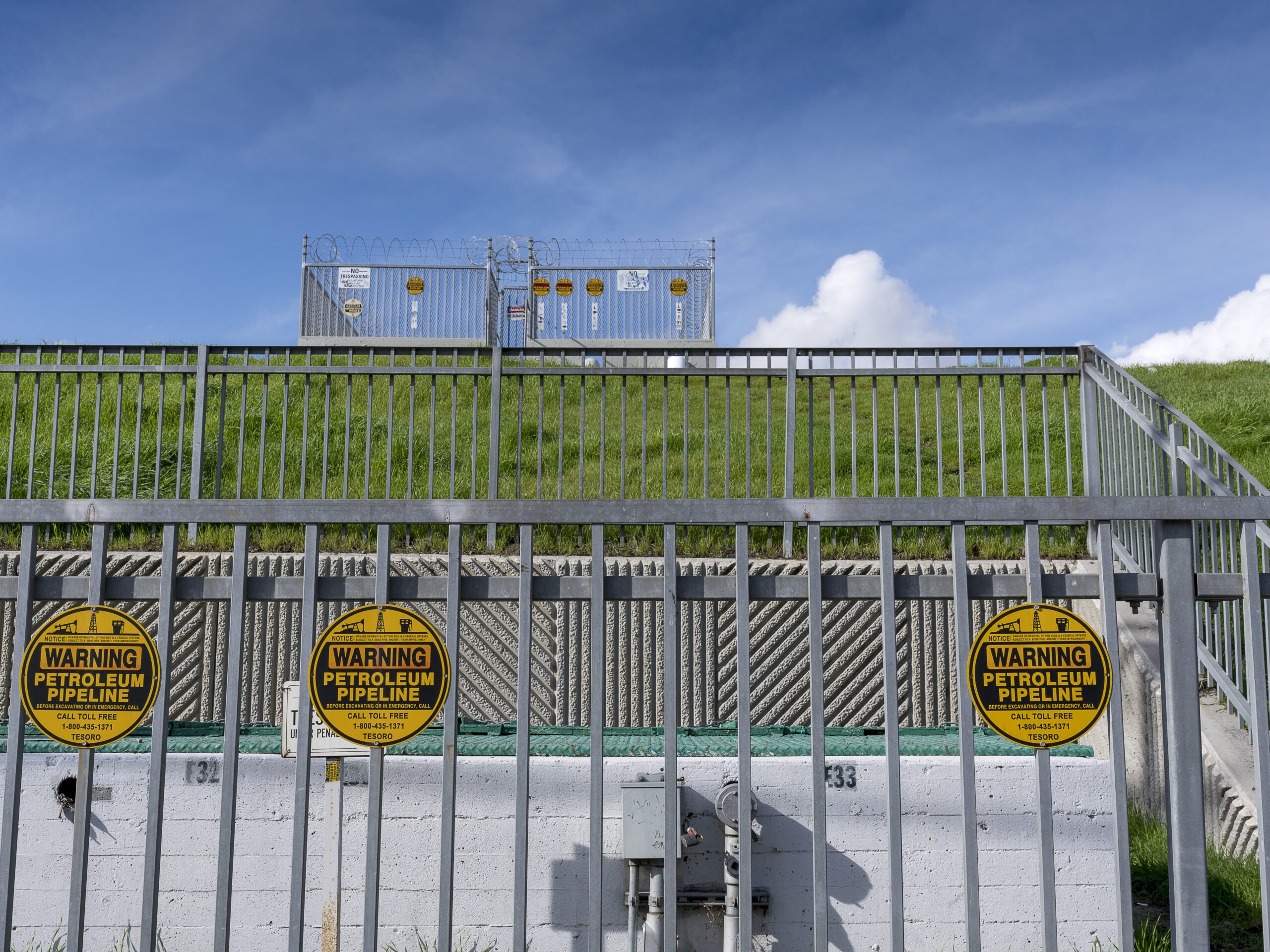
Pipeline markers list the product traveling through the pipeline, the name of the pipeline operator, and operator’s telephone number.